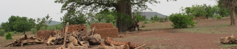
Archival maps contain valuable information on environmental and social change. Jean-Yves Marchal was a renowned geographer of the French Terroir School. He and his colleagues pioneered the integration of detailed spatial information with intensive fieldwork to document how households and communities shaped their environments over time. His seminal work was Yatenga: Nord Haute-Volta. La dynamique d’un espace rural soudano-sahélien published by ORSTOM in 1983. It featured two maps on land-use/land-cover (LULC) in Yatenga, Burkina Faso for 1952 and 1973. Human Ecology Lab graduate student Alfredo J. Rojas and other students converted these archival maps to GIS layers.
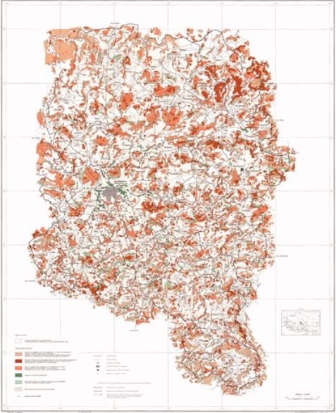
Yatenga LULC 1973 – Marchal, 1983